Videos
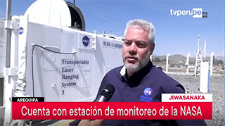
SGP Project Manager Stephen Merkowitz interviewed by TVPerú at Arequipa SLR station
05/31/2019
SGP Project Manager Stephen Merkowitz was interviewed by TVPerú in Spanish for a story on the NASA Satellite Laser Ranging Station TLRS-3 in Arequipa, Peru that aired on TVPerú Noticias. A version of the story was also aired in Quechua.
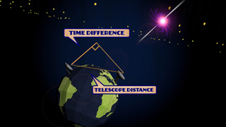
Using Quasars to Measure the Earth: A History of VLBI
06/21/2012
VLBI, or Very Long Baseline Interferometry, is a technique that uses multiple radio telescopes to very precisely measure the Earth's orientation. It was originally invented back in the 1960s to take better pictures of quasars, but scientists soon found out that if you threw the process in reverse, you could measure how the ground beneath the telescopes moves around, how long days really are, and how the Earth wobbles on its axis as it revolves around the sun!
Slideshows
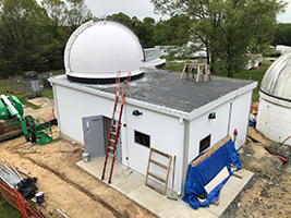
SGSLR Installation at GGAO
05/06/2019
Development of the SGSLR at GGAO, including the build of the facility, the integration and testing of the instrumentation, and the eventual verification of the system during collocated ranging with MOBLAS-7
Staff Profiles
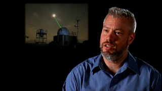
Stephen Merkowitz, Project Manager
07/05/2012
Project manager Stephen Merkowitz talks about his work with NASA's Space Geodesy Project, including a brief overview of the four fundamental techniques of space geodesy: GPS, VLBI, SLR, and DORIS.
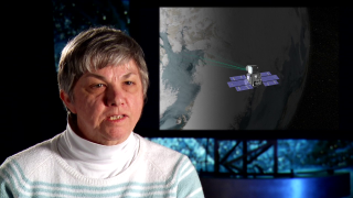
Jan McGarry, Mathematician
08/16/2012
Mathematician Jan McGarry discusses the science and history of Satellite Laser Ranging (SLR), her role in developing the Next Generation Satellite Laser Ranging system, and her career at NASA's Goddard Space Flight Center.